


Folks, take a look at the pic below.

You don't need a PhD in geology to get the basic drift of what's going on there. How far do you think this fault continues below the surface? 10 feet...1,000...10,000 feet? How much force - over how long a period of time - caused these rocks to fold and fracture like that? Tilted and curved on the right...vertical on the left.
And....just asking...when a horizontal wellbore hits one of these deep fractures, what - exactly - do you think is going to happen when they start a fracjob?
When I first saw a contour map of the Towanda Creek Valley, I immediately thought "...what the heck is going on here?"


The landform of the Towanda Creek valley is even obvious in the satellite pic below.

Something significant happened both at and below the surface to create the features I was viewing, and over the last four visits to that area, seeing bedrock tilted from horizontal to vertical and twisted toward all points of the compass, I question whether the natural gas industry even bothers to use geologists to decide where to drill.
The gas industry has drilled & fracked in an area they never should have, and regardless of the folks who say otherwise, the methane migration is far from over.
Methane is a colorless, odorless gas.
Get it?

Above: Tilted bedrock along H. Rockwell Road in Bradford County, PA
Below: Tilted/twisted bedrock in Towanda Creek several miles east of the spot pictured above.

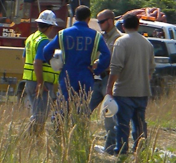
I wonder where the results of all the samples the DEP took along Rte. 414 over the last four months ended up?
No comments:
Post a Comment